The passage around Cabo Gracias a Dios was probably the most discussed aspect of our Caribbean route. The continental shelf off Honduras and Nicaragua extends hundreds of miles offshore and sprouts various cays, banks, ledges and reefs. Sailing vessels are particularly vulnerable, as the strong easterly trades and a mild current set you directly onto a lee (downwind) shore. The entire area is littered with shipwrecks, ancient and modern. Historically, shipping has avoided the region, if possible, and these natural obstacles kept the Spanish from ever establishing full control over the region in colonial times. Heading north from Colón in spring, it's quite difficult to manage the deepwater route in a small sailboat due to the Trades, so most cruising boats choose one of several paths through this treacherous area.
Armed with GPS, fairly accurate charts and diesel engines, modern sailboats are in significantly less danger than their predecessors. Still, if the weather is bad or you have a mechanical failure, this is a lousy place to be. We crowd-sourced three basic routes:
Route
|
Advantages
|
Disadvantages
|
| Miskito Channel | - Shortest Route - Protected From Waves |
- Inundated Shoreline - Coral Heads - Unlit Cayuca Traffic - “Pirates” |
| Edinburgh/Main Cape Channel | - More Downwind - Some Wave Protection |
- More Obstacles than Gorda - Longer than Miskito - Some Traffic |
| Gorda Bank/Cay Gorda | - Fewest Obstacles - Very Little Traffic |
- Longest Route - Exposed to Waves - Hardest on the Wind |
 |
| Click, then "View Image" for Hi-res |
We do not have a chart plotter and were relying on large scale paper charts, passed on to JUMBLE by the crew of ALKIRA. As a backup/sanity check in tight areas, we have CM93 vector charts, viewed with OpenCPN. The Miskito Channel is very popular with powerboats because they are able to run the entire channel in daylight, spotting coral and other hazards by eye. Very few sailboats are fast enough to do this and JUMBLE is no exception. While we met two crews who had run the Miskito Channel northbound in sailboats, the consensus was that the Gorda Bank was a safer route. The Edinburgh Channel seemed to offer few advantages except as a sort of compromise route. Some very cautious rumor-mill types also mentioned sporadic piracy along the Miskito Coast by local fishermen. Most documented incidents have involved boats already aground or anchored.
I could devote a whole post to the SSB (Single-Sideband Radio) addicted "klatcher" sailors. These are generally older, slow-moving crews on very well equipped boats with a plethora of gadgets to stay in contact with everyone and everything. JUMBLE is positively primitive by comparison. One such sailor expressed disbelief at our lack of an SSB radio, as if not having one was irresponsible. For those of us on a budget, new rigging is a better investment.
Back to the matter at hand. Given our navigational capabilities and my chickenshit attitude towards shallow water, we elected to deal with an upwind sail and waves, rather than risk the reefs and fishing/narcotics traffic. JUMBLE would be running in 30-60' water over the Gorda Banks, so it was important to have a good weather window. Even relatively small waves can 'feel' the bottom in water that shallow and become steeper. When sailing upwind, choppy waves kill boatspeed and increase leeway (downwind drift).
JUMBLE experienced two days of 15-20 knots NE and ENE, becoming less than 12 knots E when we reached the banks. The weather was much more pleasant than our trip to San Andres. The first day, we clawed upwind for a clean angle to Cay Gorda. It was pitch dark at 0200 when we turned west 2 NM from Cay Gorda, trusting in our charts and GPS. JUMBLE cleared the Pigeon Cays and the south end of Vivorillo in daylight and anchored in 20' of sand off Boga Cay.
 |
| Tiny JUMBLE viewed from the abandoned fish plant |
Vivorillo might have been our most enjoyable stop. For most sailors, this is a roadstead on the way to Roatan or Guanaja, but it was a refreshing idyll for us. For about ten days, we swam, fished and read in almost complete solitude. Two fishing trawlers came through and one fisherman in a panga stopped by on his way to Cayo Caratasca. We were alone every night and most days. The bank is situated about 40 NM from the mainland and has very little dry land, but extensive reefs. Unfortunately, I failed to get any underwater photos. The first few days, we were getting the lay of the reef, spotting nurse sharks, barracuda, rays, turtles, cuttlefish and all kinds of fish. By the time we were ready to take some photos, I'd been eaten alive by sand flies on Boga Cay. The bites itch worse than mosquito bites ever could and I had a few hundred on my legs. I swam around with several shallow, open sores for a couple days and things started to look pretty bad, so I was confined to the boat thereafter.
 |
| Anna Standing on the barrier reef |
 |
| Wide Angle of the anchorage |
I've discovered an excellent drink combination for tropical weather. It's more than a drink, it's a way of life:
Step 1: Rise at 9am or whenever the heat forces you from the cabin
Step 2: Shamble under the cockpit shade and recline. Remain still for awhile
Step 3: Brew sour, stove-top espresso, drink full strength
Step 4: Immediately wash down espresso with ice-cold MGD (substitute any weak, fizzy beer)
Step 5: Continue the brewing-drinking cycle until about noon
Step 6: You are now prepared for your day
Seriously, it tastes amazing and gets your mind right. I haven't thought of a good name, any ideas? "Caribbean Coffee"? Any name with "Bomb" is no good: this is a mellow beverage.
 |
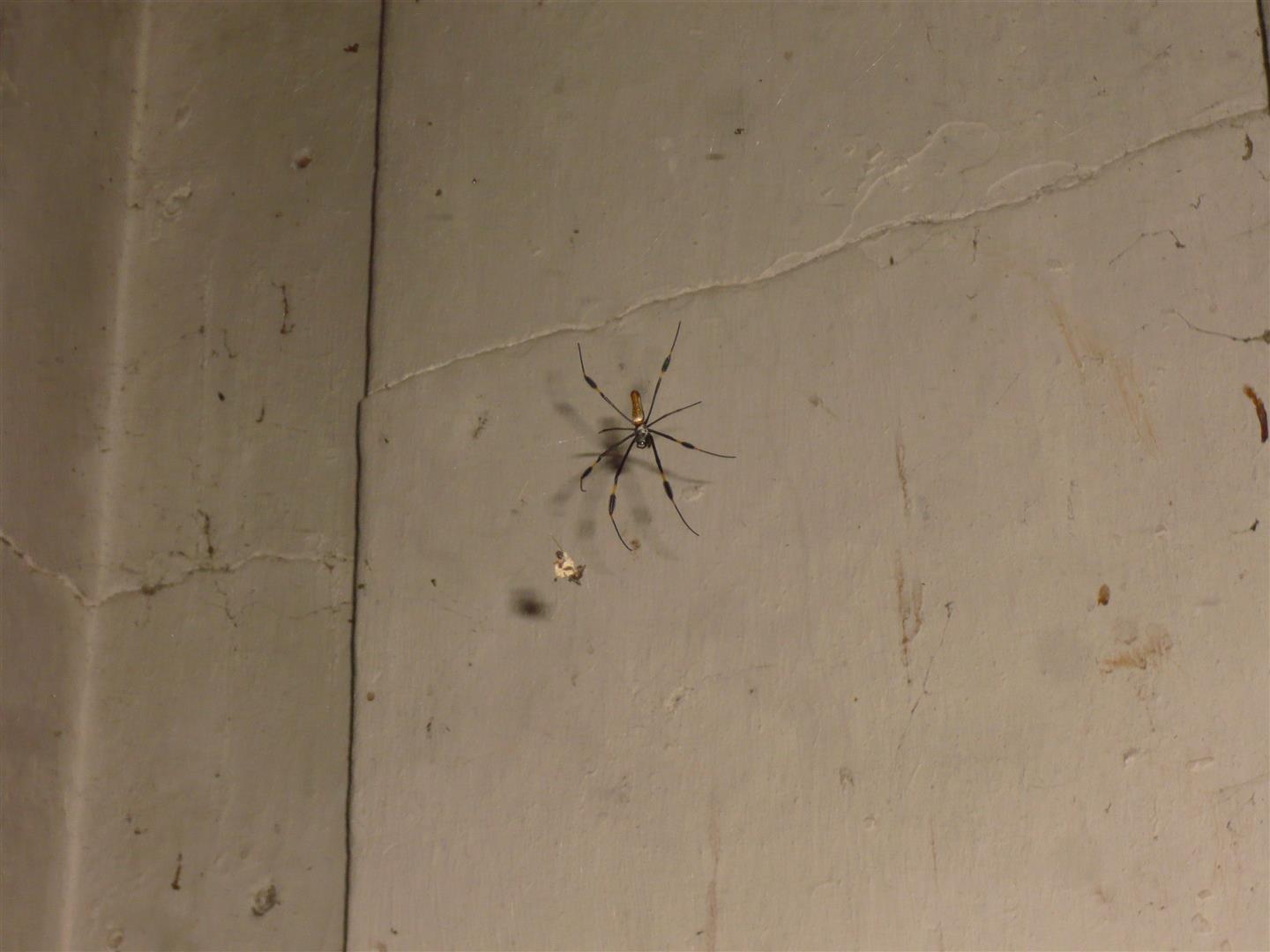
| The Fauna |
 |
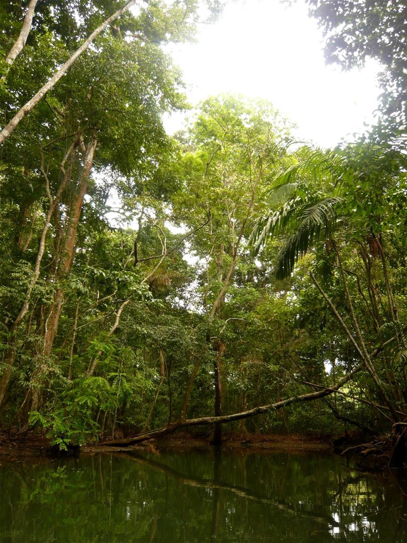
| The Flora |
 | |||||||||
| The Birds |
 |
| Very Stinky |
The morning of our arrival, a Honduran trawler stopped by, said hello and clearly checked our boat name. A few hours later a large panga with half a dozen armed men came blasting into the anchorage and circled around us. I say "armed men" because their uniforms, while obviously military, were very piecemeal. Most of them wore ski masks or bandanas. The officer stood out as he was alone in having a complete, tidy uniform. Ballasted by the aforementioned beverage, we watched their approach with curiosity, greeted them and showed our papers. All was well, it was the Honduran Navy. The officer told us that they'd spend the night on the larger cay and to let them know if we needed any help. We asked if they had any weather information, but no dice. They kicked around the island for a couple hours and left before nightfall. I don't know if it was the sand flies or boredom. Most likely, they were looking out for us, at least halfheartedly.
Vivorillo and the surrounding cays have a problem with squatters and smugglers. Many are poor fisherman harvesting conk and fish from little cayucas (canoes, traditionally dugout) and waiting for larger 'mothership' trawlers to pick them up. Sometimes, these trawlers don't pick the fishermen up and they have to forage until another boat comes by. We gave three of these guys a ride back to their mothership in exchange for a few ponds of conk. Above all, the islands are plagued with drug smuggling, you might stumble into something or someone.
"As in Panama, the Honduras' islands of Cayos Vivorillo, with little police or military oversight, are a regular Caribbean drug transit point. The area has more than ten little islands and sandbanks, which form part of the province Gracias a Dios on the border with Nicaragua.
According to the United States government, up to 80 percent of the cocaine that transits Mexico goes through Honduras first. Over the last few months, drug traffickers have changed their routes in order to bring drugs into Honduras and then to the United States. This is part of what the United States labels the drug triangle: from Colombia to Honduras to Mexico."
Article on Narco-Islands
 |
| Squat on Boga Cay |
 |
| Small Forest on Boga Key, tons of bugs |
 |
| Conk and Coral |
 |
| Floating trash washes up on the windward side |
After a week and a half, we were running low on food and anxious to make it to Isla Mujeres. The weather had other plans and we got slammed with a Norther, making the anchorage untenable. We quickly threw our shit together and got JUMBLE away from the reef. Within an hour, 2-3' waves were breaking a few hundred feet away and the wind was building. It turned into a fun sail and forced us to visit Guanaja. More on the Norther and Guanaja in the next post.